
Barbara Eiswerth and her Iskashitaa Refugee Network
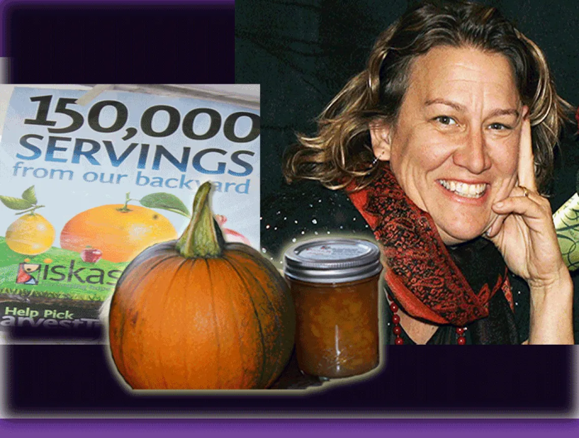
Barbara Eiswerth completed her Ph.D.* in Arid Lands Resources Sciences from the University of Arizona. Soon after she founded a community-based organization that empowers United Nations refugees from Africa, Asia, and the Middle East by creating opportunities for them to use their knowledge and skills from their countries of origin. The network, made up of refugees and volunteers, is called Iskashitaa Refugee Network, which means "working cooperatively together" in Somali. The program has evolved from a few thousand pounds of fruit harvested to an annual harvest of over 100,000 pounds of fruit, nuts, and vegetables from backyards and local farms and orchards. In addition, Iskashitaa has integrated projects including producing refugee culinary goods and sustainable crafts. During Iskashitaa project activities, residents of Tucson are educated about the refugee community as well as the local food system and are called upon to stop the rampant food waste. Read more about Iskashitaa at: http://www.iskashitaa.org/

Dr. Barbara Eiswerth moved to Tucson in 1992 to work as a research geologist specializing in GeoSpatial Information Technologies with the US Geological Survey. After ten years working extensively with technology transfer in Latin America, she pursued a career as an environmental scientist working at the Arizona Remote Sensing Center with projects in East and West Africa.

A sampling of the recognitions Eiswerth has received include being a National Finalist in Community for Sustainable Food, the Baha’i “Vision in Action Award”, National Garden Crusader Award for Feeding the Hungry, the Church Women United's Human Rights Award, The Jewish Federation of Southern Arizona's Meyer and Libby Marmis Humanitarian Award, and Interfaith Community Services' Silver Spoon Award. Iskashitaa’s work was recognized by the White House through the Community Based Initiative for one of the winning videos in “Portraits of Compassion.” In 2011, Eiswerth was awarded the distinguished Hon Kachina Award in the State of Arizona.
*Dissertation Title:
“An evaluation of soil erosion hazard: A case study in Southern Africa using geomatics technologies”
Abstract:
Accelerated soil erosion in Malawi, Southern Africa, increasingly threatens agricultural productivity, given current and projected population growth trends. Previous attempts to document soil erosion potential have had limited success, lacking appropriate information and diagnostic tools. This study utilized geomatics technologies and the latest available information from topography, soils, climate, vegetation, and land use of a watershed in southern Malawi. The Soil Loss Estimation Model for Southern Africa (SLEMSA), developed for conditions in Zimbabwe, was evaluated and used to create a soil erosion hazard map for the watershed under Malawi conditions.
The SLEMSA sub-models of cover, soil loss, and topography were computed from energy interception, rainfall energy, and soil erodibility, and slope length and steepness, respectively. Geomatics technologies including remote sensing and Geographic Information Systems (GIS) provided the tools with which land cover/land use, a digital elevation model, and slope length and steepness were extracted and integrated with rainfall and soils spatial information. Geomatics technologies enable rapid update of the model as new and better data sets become available.
Sensitivity analyses of the SLEMSA model revealed that rainfall energy and slope steepness have the greatest influence on soil erosion hazard estimates in this watershed. Energy interception was intermediate in sensitivity level, whereas slope length and soil erodibility ranked lowest. Energy interception and soil erodibility were shown by parameter behavior analysis to behave in a linear fashion with respect to soil erosion hazard, whereas rainfall energy, slope steepness, and slope length exhibit non-linear behavior. When SLEMSA input parameters and results were compared to alternative methods of soil erosion assessment, such as drainage density and drainage texture, the model provided more spatially explicit information using 30 meter grid cells.
Results of this study indicate that more accurate soil erosion estimates can be made when: (1) higher resolution digital elevation models are used; (2) data from improved precipitation station network are available, and; (3) greater investment in rainfall energy research.